
ISS
Bendigo
Loading every satellite in orbit…
Live flyover map
When does the space station pass over Bendigo?
Passes over Bendigo (36.76°S 144.28°E), in Bendigo time. Not in Bendigo? Use my location
Tiangong, Hubble and Starlink trains: in the app
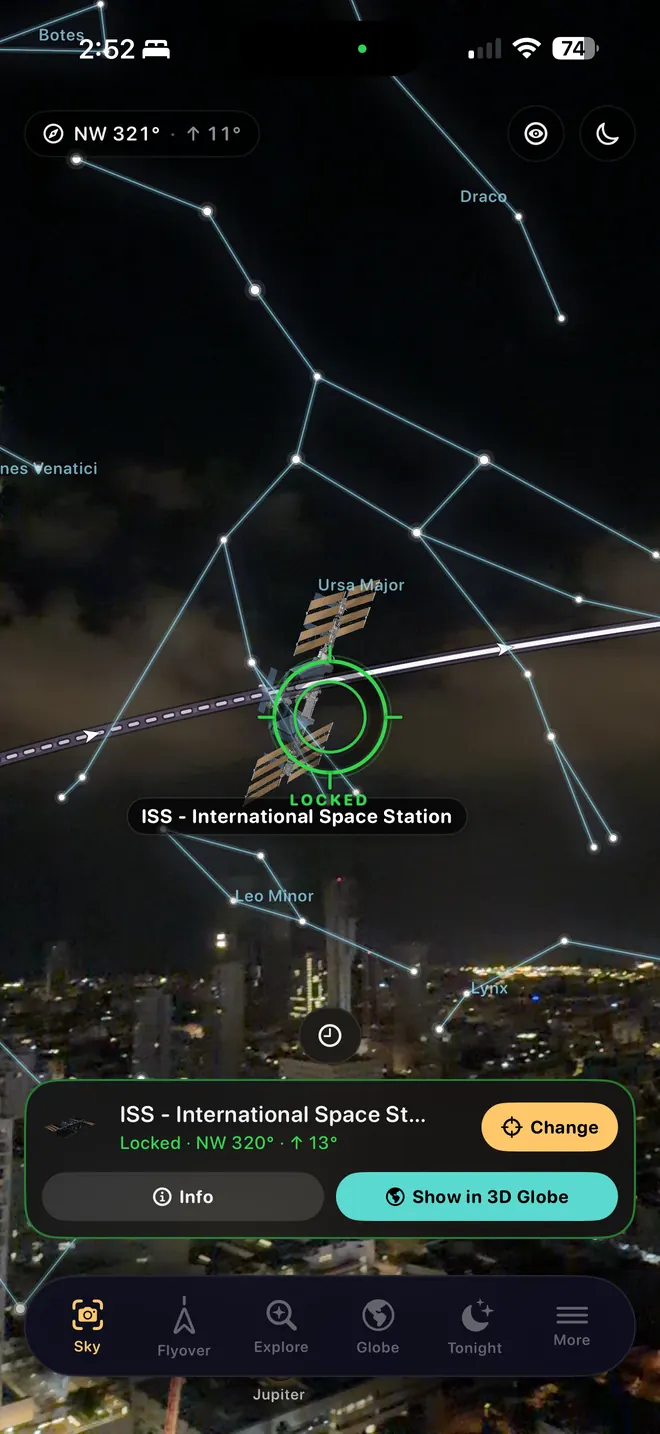
With the app
Easier with the app: just follow the arrow.
A time and a direction get you outside. In the dark, with the station already moving, the app does the rest.
- An alert before the station rises, so you are outside in time.
- An arrow in the camera view that leads you to the exact spot in the sky.
- A rehearsal of the pass in AR, from where you are standing.
- Tiangong, Hubble, Starlink trains and 10,000+ more satellites.
How this works
Every dot on the globe is a real satellite, placed where it is right now. Their orbits are published several times a day; our server works out from them where each one is and when the station will cross your sky, and this page draws the answer.
A pass is visible when three things line up: the spacecraft is at least 10° above your horizon, your sky is dark, and the spacecraft is still in sunlight. That only happens in the hours after sunset and before sunrise, which is why visible passes come in streaks of a week or two.
The 2D map shows the same pass from above: the line is the station’s path over the ground, gold where it is in sunlight and brighter where it looks brighter, dashed where it is in Earth’s shadow. Inside the white circle it is above your horizon. Tap a marker for the time and direction.
The ring around your location marks where a spacecraft must be for you to see it that high. Read more in How to see the International Space Station.