Without a telescope
BarelyOnly on its best passes and from a dark site: magnitude +5.3 at its best, at the limit of the naked eye. Binoculars make it easy.
 Star & Planet Finder
Satellites›Brightest satellites›Ajisai
Ajisai is a satellite from Japan, launched on August 12, 1986 from Tanegashima, Japan. It is in a low orbit, 1,488 km above the ground, and goes around the Earth every 115.7 minutes: 12.4 times a day, at 7.12 km/s (25,600 km/h).
The gold ring is its orbit, and the line drops to the point on the ground under it. Inside the white circle it is above the horizon. Drag the globe to turn it, pinch or use the buttons to come closer; the target button brings you back to the satellite. The 2D map shows its path over the ground for the next lap: gold where it is in sunlight, dashed where it is in Earth’s shadow.
Finding Ajisai…
Finding Ajisai…
A Japanese satellite launched in August 1986 that is nothing but a ball of mirrors: a sphere a little over two metres across, covered with 318 mirrors and more than a thousand laser reflectors. Surveyors bounce lasers off it to measure the Earth. It spins, so through binoculars it sparkles with quick flashes of sunlight.
Only on its best passes and from a dark site: magnitude +5.3 at its best, at the limit of the naked eye. Binoculars make it easy.
It passes straight overhead only between latitudes 50° north and 50° south, and rises above the horizon as far as about 85°. Nearer the poles than that it is never in the sky.
A satellite shows only when your sky is dark and it is still in sunlight: in the hours after dusk and before dawn.
The app works out its passes over your exact location, alerts you before one, and leads you to it with an arrow in the camera view.
Orbit measured November 12, 2026, from CelesTrak. Heights are above the ground at the equator. Page updated November 14, 2026.
The map on this page shows where Ajisai is at this moment, the path it will follow over the ground for the next lap, and the part of the Earth it is above the horizon for. It is worked out from the latest tracking data.
About 1,488 km above the ground.
About 7.12 km/s, which is 25,600 km/h. One lap of the Earth takes it 115.7 minutes, so it goes around 12.4 times a day.
Barely. Only on its best passes and from a dark site: magnitude +5.3 at its best, at the limit of the naked eye. Binoculars make it easy.
On August 12, 1986, from Tanegashima, Japan.
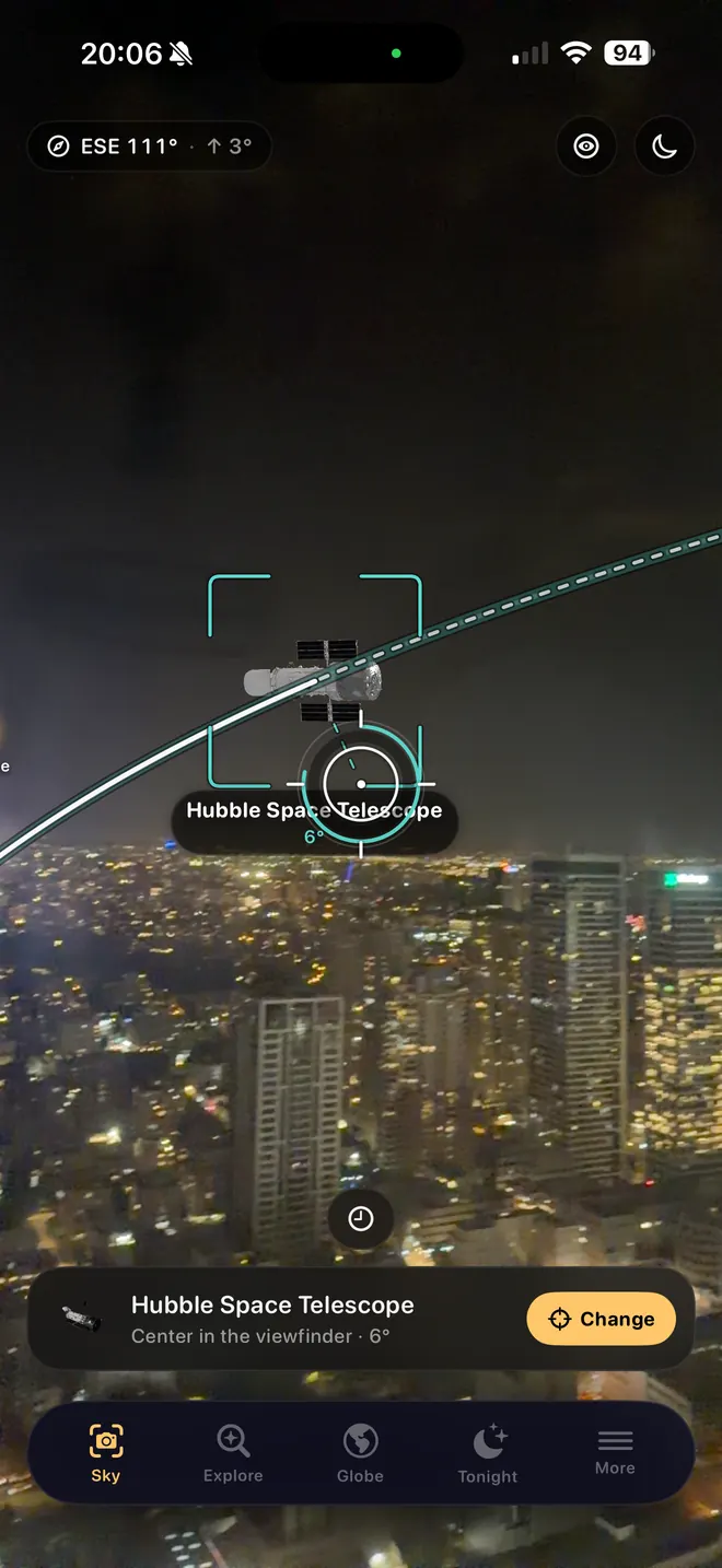
With the app
This page follows the satellite around the planet. The app works out when it passes over you, and leads you to it.