Without a telescope
Not without a telescopeAt that distance even a satellite the size of a bus is far too faint for the naked eye. In a telescope it is a faint point that stays put while the stars drift past it.
 Star & Planet Finder
Satellites›Geostationary satellites›IRNSS-1I
IRNSS-1I is a satellite from India, launched on April 11, 2018 from Sriharikota, India. It goes around once a day, in step with the turning Earth, about 35,786 km up, near longitude 52.4° E. Its orbit is tilted 29.1° to the equator, so instead of hanging still it drifts north and south of the same spot each day.
The gold ring is its orbit, and the line drops to the point on the equator it stays over. Inside the white circle it is above the horizon, all day and all night. Drag the globe to turn it, pinch or use the buttons to come closer; the target button brings you back to the satellite. The 2D map shows the same on a flat map.
Finding IRNSS-1I…
Finding IRNSS-1I…
At that distance even a satellite the size of a bus is far too faint for the naked eye. In a telescope it is a faint point that stays put while the stars drift past it.
It is above the horizon all day and all night for everyone within about 81° of longitude 52.4° E on the equator, and always in the same part of their sky. From the rest of the world it never rises.
The app shows where it sits in your own sky, and leads your telescope or your eye to the spot.
Orbit measured November 13, 2026, from CelesTrak. Heights are above the ground at the equator. Page updated November 14, 2026.
IRNSS-1I stays over longitude 52.4° E, on the equator. The map on this page shows the spot, and the part of the Earth it can be seen from.
About 35,786 km above the ground.
About 3.07 km/s, which is 11,100 km/h. One lap of the Earth takes it 23 h 56 min, the same time the Earth takes to turn once.
Not without a telescope. At that distance even a satellite the size of a bus is far too faint for the naked eye. In a telescope it is a faint point that stays put while the stars drift past it.
On April 11, 2018, from Sriharikota, India.
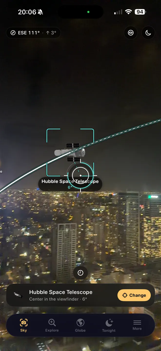
With the app
This page follows the satellite around the planet. The app works out when it passes over you, and leads you to it.